BAY AREA HIKING: Gambolin' Man's Top Destinations & Favorite Outings of 2007
.jpg)
The Bay Area is a diverse and contradictory place to call home, especially for an Indiana boy. The prospects of "settling down" in the twelfth largest metropolitan area of the U.S. was a repugnant idea, a ridiculous plan gone awry over unrequited love.
.jpg)
But I stuck it out, and here I remain, a quarter of a century later, no worse for wear (except for that nagging bum ankle). But I still often ask myself, "What am I doing here?" and the call of "Bay Area Wild" always answers.
.jpg)
Over the years, I've come to love and appreciate more and more the pristine natural qualities that make the Bay Area such a special place in which to reside. Tom Mangan of Two-Heel Drive purports to call our home "the hiking capital of the universe!"
With thousands of miles of trails, it's hard to argue. The Bay Area's all-encompassing natural beauty and bounty continues to inspire, amaze, and keep me sane and fit amid my urban surroundings.

Here's a look at some of my favorites, while also admitting many more favorite haunts have been given short shrift or left out entirely. However, at the end of this post are complete links to all Gambolin' Man's relevant posts written about or alluded to herein.

ENJOY!
EAST BAY
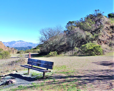
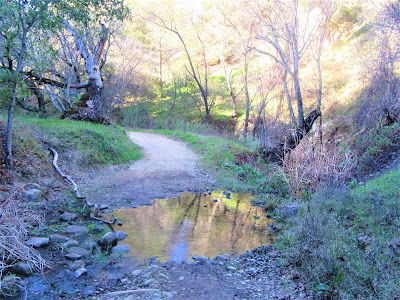
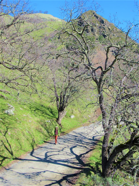
TILDEN REGIONAL PARK
WILDCAT CANYON REGIONAL PARK
.jpg)
Today, this open space, set on the ecotone of the urban and the wild, is where East Bay metropolitan sprawl meets Mother Nature's organic green blanket.
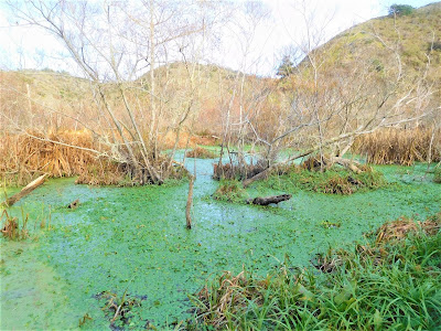
This fabulous park covers more than 4500 acres of pretty valleys, modest peaks and ridges, attractive meadows and healthy woodlands, tropical-like riparian corridors, chaparral sage-scented hillsides, and a rich aquatic biota composed of ponds, marshes, lakes and creeks.
.jpg)
In other words, it's still Paradise on Earth.
Living as we do, so close to the Berkeley Hills, has the psychological drawback of tending to take the beauty and ecological integrity of our local Tilden and Wildcat parks for granted. But the secret is, Tilden and Wildcat is wilderness right in our back yard!
.jpg)
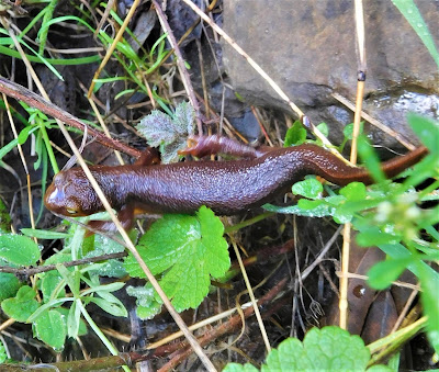
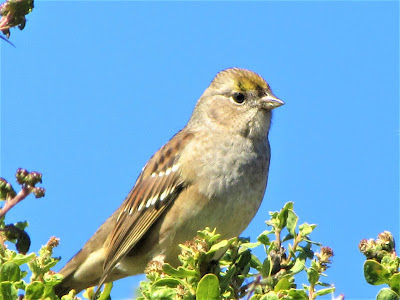
I've spotted more birds – ducks, hawks, golden eagles, hummingbirds, kingfishers, black phoebes, herons, egrets, wrens, sparrows, finches and flycatchers. I've encountered more amphibians – Pacific tree frogs, bullfrogs, California newts, salamanders.
.jpg)
I've stopped in my tracks for more reptiles – Western fence lizards, skinks, rattlesnakes, gopher and garter snakes; and I've observed more species of mammals making their rounds – deer, fox, raccoon, bat, coyote, bobcat, feral cat, and skunk – in these two parks than seems possible in such a heavily populated / urbanized area.
.jpg)
I've witnessed surreal sunsets atop the seemingly insignificant 1250 ft. Wildcat Peak, a modest but stand-out eminence offering up nonpareil 360-degree views. I've hiked my butt off from Richmond to Orinda and still haven't covered all the trails.
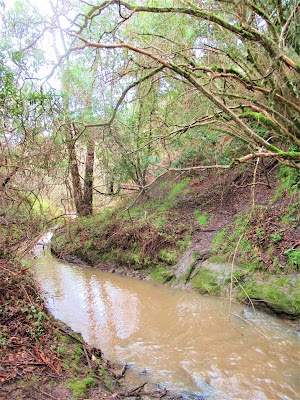
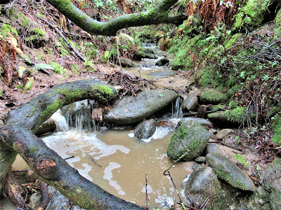
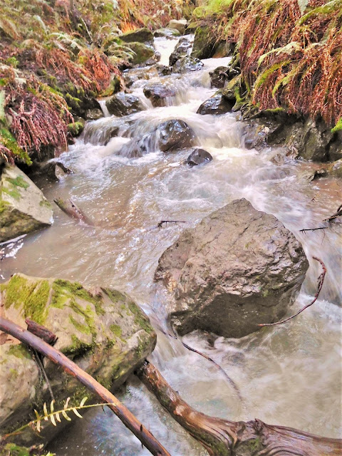
In the rainy season, I've marveled at hard-flowing Wildcat Creek cutting deep bedrock channels, and sought out hidden, amazing waterfalls in secret ravines off South Park Drive, one of the busiest arteries in Tilden.
That is, when it's not closed for seven months out of the year (November to May) to allow for the safe passage of migrating, sexually active newts.
.jpg)
There is just so much to do in these two parks, for every walk of life – biking, horseback riding, swimming, exploring, picnicking, golfing, calliope and steam train rides, and, of course, aerobic hiking for superb views.
.jpg)
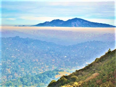
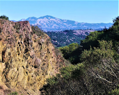
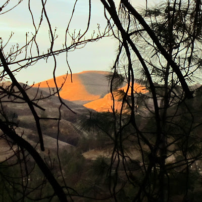
West, you've got the Marin Headlands and San Francisco's glittering skyline, north, the hills and glistening reservoirs of San Pablo and Briones; and east, twenty miles distant, to Mount Diablo rising to 3849 ft.
It just doesn't get any better than this, for urban living / nature retreats / wild escapes on your doorstep.
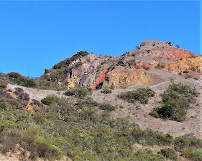
MOUNT DIABLO STATE PARK
.jpg)
Deadly in summertime, unless your plan is to picnic and lollygag under shady oaks alongside a trickling stream at the staging area – which is quite a pleasant activity, no doubt – save your more ambitious explorations of this 20,000+ acre urban zone wilderness for more hospitable seasons.
.jpg)
But make no mistake, the Mountain can, will and often does kick your ass any time of the year.
.jpg)
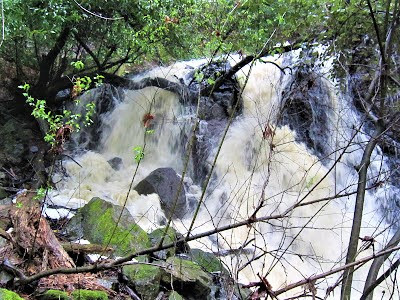
My favorite forays are after series of cloudbursts have replenished bone-dry wellsprings in upper slopes, when gullies and ravines burst to life with torrents of cascading water.
.jpg)
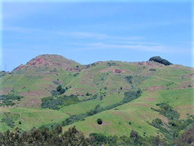
In these mid-range elevations – 1500 ft. to 2500 ft. – tucked in deep, lush canyons, Mount Diablo is reminiscent of Hawaii (were it not for the colder temperatures and presence of the Western Juniper.)
.jpg)
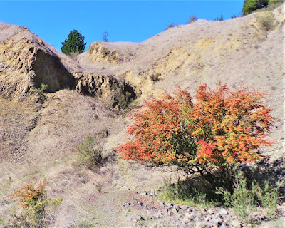
On a rainy day, try hiking super-lush and intriguing Curry Canyon, luring you ever downward into its moist, green depths . . . or on a clear February day, pace yourself up Donner Canyon trail for four miles and a thousand feet of gain.
.jpg)
There, you'll encounter water splashing down hillsides, water rushing across the trail, water spilling down rock faces in sweet bursts of rainbow spray.
.jpg)
Why, no place within two hours' drive is prettier or more rugged until you hit the higher elevations in the Sierra foothills. There's so much going on at Mount Diablo State Park – everything from hiking, running, biking, horseback riding, paragliding, bird watching, wild flower appreciation – that you could plot an outing, plan an adventure, every day for a month, and still not see and do it all.
.jpg)
Mount Diablo – Sacred Tuyshtak
No doubt still the Center of the (Hiking) Universe.
.jpg)
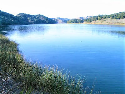
BRIONES RESERVOIR / REGIONAL PARK
.jpg)
.jpg)
On a recent day, exploring the north side of the regional park, on a lower crest, visibility was so flawless that I could see snow-capped Sierra Nevada mountains with my naked eyes!
Through binoculars, I sighted what might be 9735 ft. Mount Tallac on Lake Tahoe's southwest shore and swear by the light of day it was Half Dome I was seeing farther to the south.
On several recent hikes through the rolling voluptuous hills of the watershed lands, with no one ever about, I've oft-spotted this huge yellow feral cat who must weigh at least thirty pounds!
.jpg)
Although getting long in tooth and sauntering lackadaisically, this is one fat cat who's making a killing in the mice fields of Brionesland. He must also be pretty damn wily – how is it that a lion, a coyote, or a golden eagle hasn't attacked, killed and eaten old Felix?
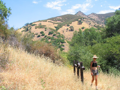
SUNOL REGIONAL WILDERNESS
.jpg)
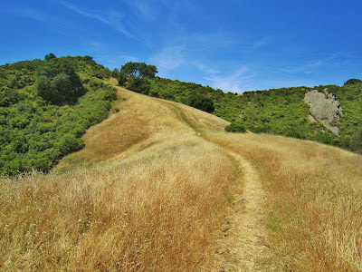
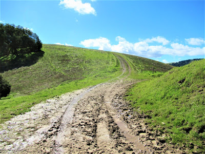
It's a big place, affording blister-inducing hikes, lung-busting climbs, pay-off views. The many faces of Sunol throughout the changing seasons enchant and tantalize.

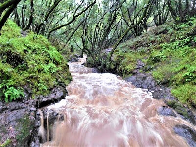
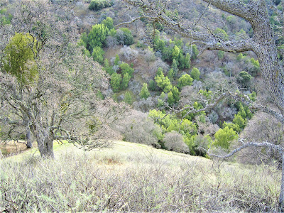
Flaming orange poppy fields dotting rocky hillside meadows in springtime evoke images of the Scottish Highlands, while rugged ravines flush with water from winter rains bring Alameda Creek and the cascades at Little Yosemite to thunderous and symphonic roar.
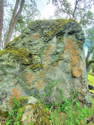
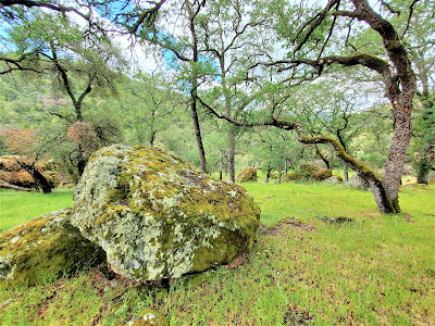
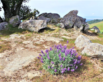
Admire sturdy, stately sycamore trees lacing broad flood plains in autumn's fiery hues; summer's secretive pool kept shady and cool, where only you know where to find it. Losing yourself in Druid forests of stunted oak and lichen-splotched boulders dotting grassy flower strewn hills like ruined menhirs.
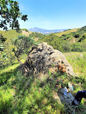
Grueling hikes up to vantage points with names like Eagle's Nest, affording spectacular views atop rocky promontories of the Calaveras Reservoir, Mission and Monument Peaks, Mount Hamilton, Mount Diablo, McGuire (Maguire) Peaks, and the fabulous Ohlone Regional Wilderness range.
.jpg)
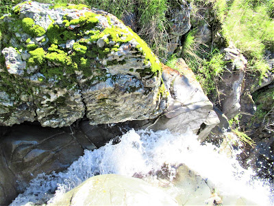
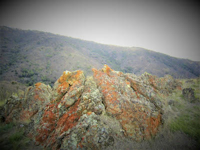
And, trying not to step in the cow shit. But the cattle grazing doesn't bother you. Scrambling up the W Tree Rock Cascades, with its unique Diablo Range geology of richly textured green and blue andesite boulders and reveling in the endless miniature glory of its flowing cascades, falls and chutes.
.jpg)
If you haven't been to Sunol, get a move on and see what you've been missing, for no place is closer to paradise on earth, on a beautiful spring day, after winter rains, than the lush, green, rolling hills of our beloved Sunol Regional Wilderness.
Wait, didn't I say that about Mount Diablo?
Well, it's all one and the same, after all.
.jpg)
Sunol: where I go to get a New Soul.

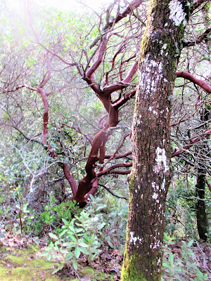
HUCKLEBERRY BOTANIC REGIONAL PRESERVE
.jpg)
Huckleberry is a botanical preserve home to a "relic" variety of plants found in just a few other places in California owing to specialized remnant habitats.
.jpg)
Among the interesting species finding root and refuge in the botanic preserve are the California hazel nut, Pink flowering currant, Dwarf chinquapin, rare ferns, and the endangered pallid manzanita (Arctostaphylos pallida), found nowhere else on earth but the Bay Area, and in most abundance here.
.jpg)
About 2500 of them have long flourished atop exposed rocky knolls, in poor soil, low in nutrients, but the colony of A. pallida found at Huckleberry is now on the decline due to fire suppression tactics, unnatural shading, and other deterrents to life for a tree struggling to survive in an increasingly unnatural or artificial world.
.jpg)
Bid it good-bye and safe tidings and take a trail leading down into the moist bowels of the thriving forest . . . find mushrooms, come upon packrat huts, inspect dewy spider webs, examine lichen on rocks, marvel at "nothing little" ephemeral waterfalls, become child-like and get lost in a deep, secluded world above and below the urban boundary zone.
.jpg)
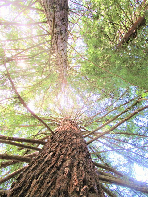
REDWOOD REGIONAL PARK
.jpg)
.jpg)
From the early eighties on I've probably made over 500 visits and hiked / ran / biked hundreds of miles . . . and each time I'm no less in awe and wonder, always uplifted and inspired anew.
The beauty and wild character of this tract of land that once supported – in primeval days, before the evil sawmills – the biggest Sequoia sempervirens on Earth, never lets you down.
.jpg)
Right here in "downtown Oakland" (as I always joked), the Redwood giants reigned. What's left of the original groves?
Fairy rings, circles of second and third generations of cloned offspring; within the empty space circumference of the fairy rings, you can imagine the original Mother Tree filling the area with millions of cubic feet of hairy woody tissue.
.jpg)
These fire-scarred arboreal behemoths would likely be 2000+ years old, and 360+ ft. high had they not been zealously chopped down by ruthless profiteers caught up in the San Jose / San Francisco building boom of the mid-1800s. By 1863, the once Jurassic-like Park had been reduced to a "sea of stumps".
.jpg)
What you see and experience today, however, is nothing to scoff at. Stands of stately 175 ft. tall Redwoods adorn the banks of burbling Redwood Creek, and deserve respect and admiration in their own right, these noble descendants of the ancient giants, who are our constant reminders of what is still to come far beyond our puny life scale.
.jpg)
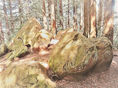
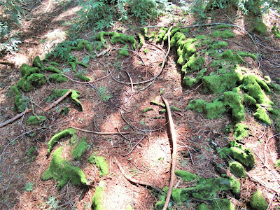
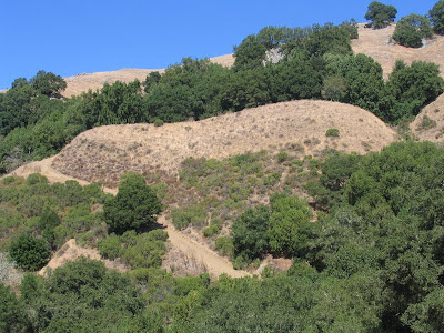
SIBLEY VOLCANIC REGIONAL PRESERVE
.jpg)
Sibley's an amazing place, really. Site of a ten-million-year-old exploded volcano, where long-necked camels once grazed alongside saber-toothed tigers and other mega-fauna, today Sibley is a favorite and easy get-away for nature-lovers located just on the fringes of Oakland and Berkeley.
.jpg)
Covering a mere 700 or so acres, Sibley's not really a place for any major hiking, per se, although you can get anywhere you want by hooking up to the Bay Area Ridge Trail and East Bay Skyline National Recreational Trail.
.jpg)
Recently a long-off-limits patch was opened giving the park a bit more breathing room – but rather, and mostly, Sibley is a place to take it all in, let your mind slowly drift and your imagination wander.
.jpg)
A whole day can pass checking out each sign post noting some outstanding geological feature or event; appreciating the darting rabbits, the soaring hawks and vultures; taking in leisurely views, exploring newt ponds, meditatively walking the hidden labyrinth to give thanks and praise and wonder evermore.
.jpg)
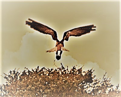
While hiking around a back canyon on the veritable edge of California's eighth largest city, moments after watching thirty ravens swirl around in the sky for minutes on end, I spot a pair of White-tailed Kites hunting, eating, roosting, preening, and surveying their relatively vast domain from twin snags of an old tree.

In all my gambolin' days, I've never seen a White-tailed Kite, yet today, like omens of wisdom and self-sufficiency, they appear and put on their show for an uninterrupted half hour. Luckily, I have my binoculars handy, for the stately birds are a good 75 ft. away from my own perch on a rise of ground above the hidden labyrinth.
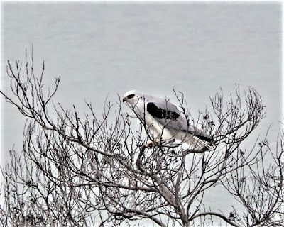
Taking in big views east of Mount Diablo, northeastward to Brionesland, and west across the bay to ever-alluring Mount Tamalpais, I don't see them right off . . . but then, suddenly aware of my immediate surroundings, I spot the gorgeous hawk-sized birds roosting effortlessly on their snags.
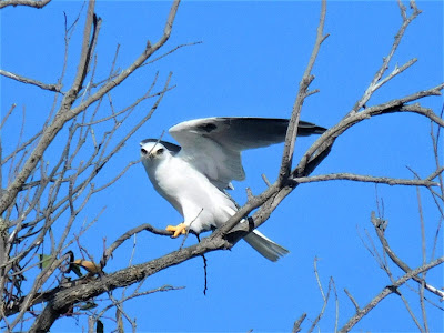
They're distinctive, beautiful birds – white chests, black shoulder streaks on grayish-white backside plumage, huge wingspan, sharp yellow talons, and slanty coal black eyes.
.jpg)
They have an air of kingly superiority; clearly, these birds have adapted as specialized hunters, masters of their domain, and I'm lucky enough to be watching one of them tear apart a mouse atop the snag, pecking at it, dropping a stringy gut and then slurping it up like a noodle.
Now, almost fastidiously, picking it apart in delicate jabs, eating all the while looking around, seemingly totally enjoying himself . . . him? Or her? Can't tell, and don't know – they're identical in appearance, so perhaps they are not a nesting pair?
Meanwhile, the partner goes off searching for something because there's no sharing here. I watch her hunting in the canyon's low open country, hovering as sun rays glint off spreading wings and long fan-shaped tail.
The Kite then swoops down, disappearing for several moments before finally swooping back up and heading to the tree snag in amazingly short time to join the other bird still licking his chops and ruling the snaggy roost.
Watching the just-perched Kite, wondering where his meal is, since there is nothing warm, furry and dead in his clutches, I'm suddenly amazed to see him stretch up and open his plumy breast with flapping histrionics to reveal, like a magician, his tasty provender secured below on a hillside meadow.
An agitated raven blitzes by; a California quail flies into a nearby tree with a characteristic peep; a red-shouldered hawk kamikazes toward the pair, then decides to swoop away.
The big white Kites are unruffled and continue to sit there atop their perch, surveying their domain with calm detachment and utter serenity, right here in the local hills.
.jpg)
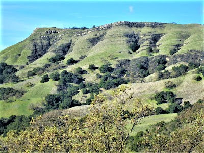
LAS TRAMPAS REGIONAL WILDERNESS
.jpg)
Another perennial favorite, Las Trampas is a place to snap your fingers and escape the surrounding sea of urban madness – especially if you live in the Walnut Creek / Alamo / Danville / Blackhawk / San Ramon corridor of metropolitan / suburban sprawl.
Come, leave it all behind and festering below – hike with me, along trails zigzagging up and down Brontosaurian roller-coaster rides, islands in the sky, along a rocky limestone spine rising over 2000 ft. to provide "pay-off" views of Mount Diablo.

Looming like a monster on the hazy horizon, it shimmers and astonishes with its deceptive bulk; and the more distant Ohlone Range beyond Livermore, and west toward the East Bay ridges of Grizzly and Volvon Peaks, inspire awe and wonder at East Bay geological mysteries.
While hiking the spine, you might hear the buzz and hum of freeway traffic below on the superhighway 680, but as you duck in and out, up and down, through forested stretches and exposed rock outcroppings, you hardly notice it.
And there are some gorgeous zen-like rocky gardens serving as the crap room for a variety of critters who congregate en masse to leave their deposits here, for no other reason – certainly not territoriality – than the stupendous views afforded during their leisurely defecations. (Or so I imagine.)
Over on the opposite ridge – Rocky Ridge – Elderberry Trail wind up to the crest for wind-blown views of expansive water district lands, vacant of humans, populated only by mountain lion, bob cat, coyote, skunk, deer, and cryptozoological legend and several eyewitnesses have it, a black panther.
One area deep below the ridge – Devil's Hole – is probably THE most remote spot in the East Bay and is where the black lion might call home.
.jpg)
It is also the area where pilfered fortunes of brigands are rumored to lie hidden in hard-to-reach sandstone caves and pockets. I've piddled about and poked around in vain searches for traces of the bonanza, but never anything.

And of a lazy summer, carry extra water – one stretch is a mile down at over 15% grade, and then a grueling climb out of the canyon, unless you opt to go wayward and climb the 1400 ft. Ramage Peak about another mile away.
.jpg)
Might as well – no one bags Ramage. With water running out, you return to hike Sycamore Trail to the ridge via an ass-kicker of a steep climb up and out. At the top, you find the wind is blowing about 45 mph, just one more force of nature to contend with at Las Trampas.
.jpg)
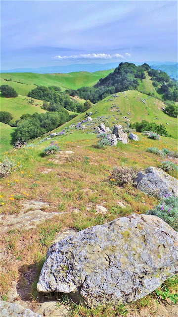
OHLONE REGIONAL WILDERNESS
.jpg)
Ohlone Regional Wilderness might as well be called Ohlone Universe, because it is a wild, rugged, remote and sacred place existing unto itself. Apart from Henry Coe State Park to the south, it is the Bay Area's premier backcountry hiking destination.
.jpg)
It is a sprawling, rugged land where you can really lose yourself – mentally and spiritually – while also restoring your senses and reclaiming your soul among the giant oaks and painted rocks dotting the rolling hills.
.jpg)
The Ohlone Wilderness Trail connects Sunol Regional Wilderness to Del Valle Regional Park, over a distance of 28 miles with a total of 7600 ft. of elevation gain.
Nothing to sneeze at, in other words.
The traverse winds up and over and around gigantic looming mini-mountains, green in the springtime, then fading to deep hues of auburn emblematic of the Golden State.
.jpg)
About halfway through the hike, the trail turns sharply to head north, through high open country with several dipsy doos down into shady forested riparian zones, with 4,000+ ft. peaks kissing the sky along the Diablo Range crest as far as the eye can see.
.jpg)
If you're not able to spend several days enjoying the length of the back country splendor, make a day of it on a out 'n back adventure that can be as easy or as difficult as you wish. A visit to Ohlone country is never a disappointment, and always a delight.
And certain to guarantee a solitary and serene experience, with the only sounds, apart from an occasional mechanical fly-over, being the wind rustling treetops and wavy grass, the syncopated chirps of insects, calls of birds and the lonesome howls of coyotes at night.
No matter where you find yourself in the Ohlone, you will feel far removed from the hustle bustle of the Bay Area.
.jpg)
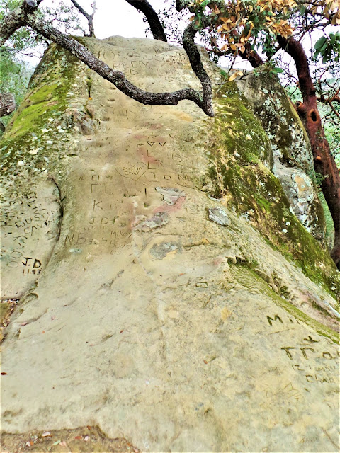
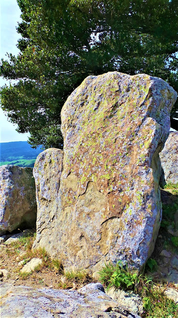
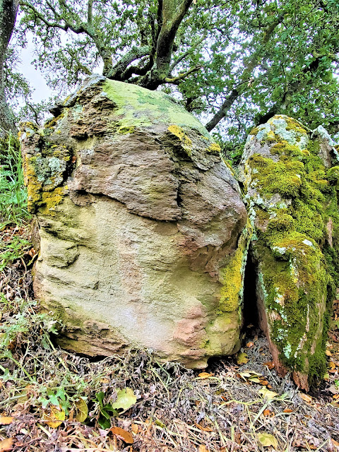
MORGAN TERRITORY REGIONAL PRESERVE
.jpg)
.jpg)
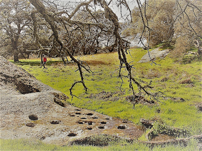
A place of sacred dimensions and outsized proportions where people have gathered and worshipped, prayed and danced, spun stories and gambled away precious trade goods, and pounded acorns into mush to sustain their life.
.jpg)
A land of big vistas and small miracles in tucked-away pockets of wild country. Where giant manzanita grow in their prime elemental soil, spreading their branches to the sky sheltering all beneath their canopy.
.jpg)
In a grove of Oak trees and Manzanita brush, you might be lucky enough to come upon the Mother of all Manzanita Trees, there off the trail beyond the grinding stone slabs, existing in kingly glory, there she is, the most impressive Mama Manzanita ever, anywhere.
.jpg)
A sentinel specimen residing in this sanctuary like a guardian of the ages for the past 300 years. Who knows. Nearby Manzanitas deign to compete in girth, height, textural richness and sculptural complexity, but fall short of measuring up to this absolutely epic arboreal wonder with reddish-chocolate bark, thick bodied, gnarled-branched, and powerful to behold.
.jpg)
You can’t take your eyes off of it, circling it repeatedly, touching and stroking it, lost in rapt admiration, more even than you would for a prized sculptural masterpiece in the Louvre.
Drop. Dead. Gorgeous. Amazing.
Such are the miracle encountered – along with Drop. Dead. Gorgeous. Amazing. rocks and creeks and waterfalls – in Morgan Territory Regional Preserve.
.jpg)
EAST BAY SHOUT-OUTS
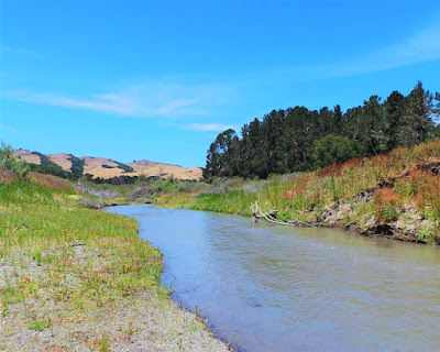
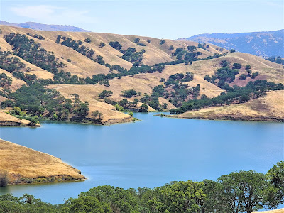
SAN PABLO RESERVOIR (EBMUD LAND)

BRUSHY PEAK REGIONAL PRESERVE
.jpg)
Brushy Peak Regional Preserve hearkens the imagination back to another time and place, to a world preserved and untouched by the ravages of urban development and sprawl.
.jpg)
PLEASANTON RIDGE REGIONAL PARK
.jpg)
.jpg)
DEL VALLE REGIONAL PARK
.jpg)
DIABLO FOOTHILLS REGIONAL PARK
.jpg)
Seek out this place and you will be amazed!

At the bizarrely sculpted rock formations, the towering sandstone pinnacles, its rich bird life in lush riparian areas alongside reedy lakes, and oak-dappled forests to gambol through and be humbled by their sacred presence.
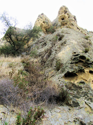
Be respectful of Peregrine Falcon breeding season and avoid climbing atop the rocks.
MARIN COUNTY
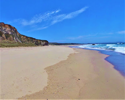
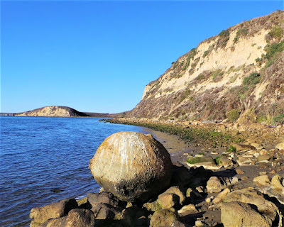
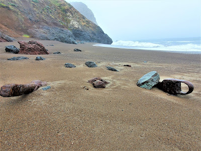
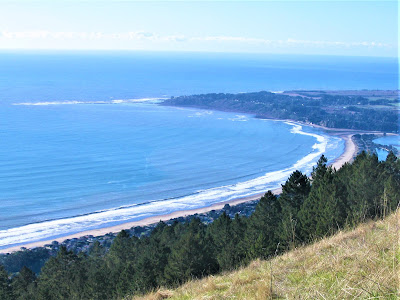
POINT REYES NATIONAL SEASHORE
.jpg)
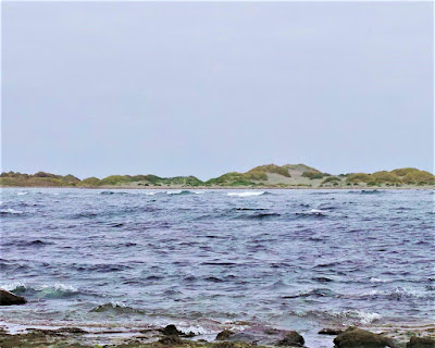
Reached after a mere (and very beautiful) ninety-minute drive from Berkeley or San Francisco, you're dialed in to wherever the guidebook directs you or your spirit takes you.
The views are certain to blow you away, the rock formations will surely awe and impress, the sheer variety of flora and fauna will astound and amaze, the ocean will humble and energize you.

And all day long, in between huffing and puffing up and down hilly trails, or endless beachcombing, you'll be throwing up your arms in supplicating thanks and praise for the miraculous existence of such a place.

So, when was the last time you visited Point Reyes National Seashore?
.jpg)
When did you last picnic on a beach of wild surf, run up and down sand dunes like a twelve-year-old, watch exotic birds in a lagoon?
.jpg)
TENNESSEE VALLEY
.jpg)
MATT DAVIS / STEEP RAVINE LOOP
I love this loop, either way, beginning at Pantoll Ranger Station high up on the slopes of the big mountain in Mount Tamalpais State Park. Ok, so you have to shell out a few bucks to park (unless you're one of the early ones to snatch up a free parking spot across the road in the little lot that holds about six cars), but every penny's worth it..jpg)
Of course, like most Bay Area hiking destinations, it comes alive during the rainy season when the moist hills reek with earthy loam and creek ravines fill with frenzied water creating magical waterfalls and harmonic conditions of negative ionic energy cleansing you to the soul-bone.
.jpg)
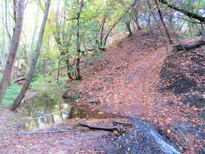
But even in the depths of summer, shady canopy offers shelter and surviving trickles of water and pools, perhaps nurturing the next generation of Steelhead Trout, and luring you from one nook and bend to the next.
.jpg)
The loop is about eight or nine miles round-trip, done either way, losing and gaining probably more than 2000 ft. of elevation on twisty switch-backing trails across broad swathes of high grassy hillsides and deep forest.
Suddenly emerging into the bright light of tremendous ocean views of the mighty Pacific lapping up against world-famous Stinson Beach and Bolinas town and lagoon, soon swallowed up again in intimate immersions of lush, sylvan wonderlands.
.jpg)
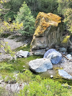
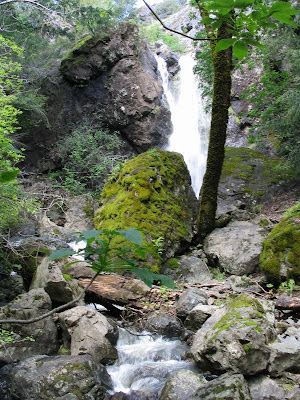
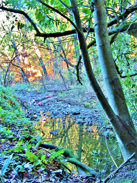
CARSON FALLS LOOP
.jpg)
.jpg)
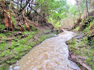
The loop, which can set you back, or advance you, eight hard miles or more, winds through thick oak, bay, madrone, alder and redwood forests, snakes along riparian corridors whose water flows are often set back from the trail, so to appreciate the best of them, you'll have to walk through tall, tick-infested grass.
.jpg)
Whilst being wary of tripping over downed logs and unseen jagged rocks to lay your eyes on some of the most amazing scenes you've ever seen of water chuting down bedrock channels and plunging over rocky shelves into clear, swirling pools, through magical, lush forests alive with birdsong and the sweet smells of earthy residue.
.jpg)
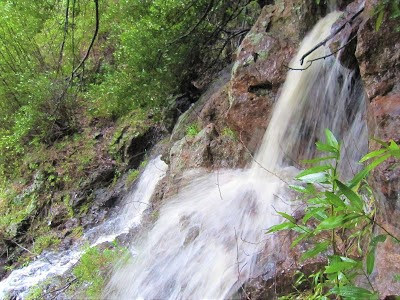
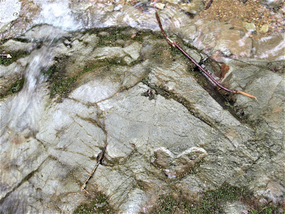
Carson Falls itself is truly a gem, especially in the rainy season – say, on a bright, blue, windless, warm mid-February day after plentiful downpour has brought this magnificent ravine cleft to life with run-off galore.
.jpg)
In summers, it's barely a trickle, nothing to get excited about . . . unless, like Gambolin' Man, any presence or manifestation of water flowing in natural conditions is precious, magical and inordinately charming.
.jpg)
Certainly, if you're a frog, to wit, viz., the endangered Foothill yellow-legged frog, whose existence depends on this late-summer water flow to protect and nurture its eggs, you'll be happy as hell to know you're considered a species of "special concern" fully protected by the State of California and the feds.
You're welcome to come and admire but thank you for keeping dogs out and treading carefully!
.jpg)
MARIN COUNTY SHOUT-OUTS
DEVIL'S GULCH
.jpg)
On a hot summer day, this perennially flowing tributary of Lagunitas Creek heads back into shady forest among Redwood giants, waterfalls, and a creek that's home spawning grounds to native Steelhead trout. It's a cool, quiet sanctuary to restore your senses.
.jpg)
ALPINE LAKE LOOP
.jpg)
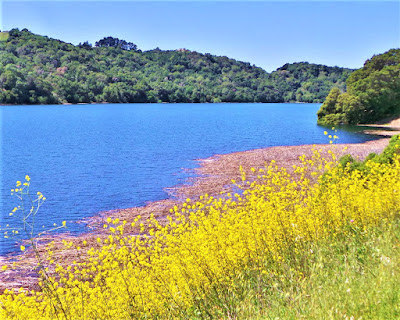
The largest of Marin Municipal Watershed District's jeweled lake settings on Mount Tamalpais' slopes, Alpine Lake is a tranquil sight to behold. Endless hiking and lounging, birding and waterfall chasing to be had, but no boating or swimming allowed!
.jpg)
MARIN COUNTY OPEN SPACE AREAS
.jpg)
Marin County has preserved some magical open space, I tell you! Places like Indian Valley, Cascade Canyon, Pacheco del Valle and Arroyo de San Jose jump out as outstanding places to spend a day hiking, waterfall chasing or just lounging by your favorite rock under your favorite tree on your favorite burbling creek.
You can't go wrong – only right!
.jpg)
NORTH BAY
ROBERT LOUIS STEVENSON STATE PARK
.jpg)
.jpg)
Like most of northern California coastal wildland, it's a combination of woodland, riparian, and chaparral, a land of biodiversity, big rock outcrops, and vast watersheds owing to the towering presence and bulwarky dimensions of 4343 ft. Mount Saint Helena, the biggest Bay Area mountain.
.jpg)
It's a fabulous place to experience "wild" Napa before getting your pampered ass back to the tasting rooms and restaurants.
.jpg)
SUGARLOAF RIDGE STATE PARK
.jpg)
Hiked here in Sonoma County one day and was duly impressed – perennial water flowing, big ridge crests to climb, healthy forests to walk, not many people. It certainly deserves more time and attention, but ah, so many places, so little time, and not enough attention.
.jpg)
LAKE BERRYESSA
.jpg)
Berryessa is a blinding blue body of water that appears as a mirage in the dry deserty hills of North Bay Wine country.
.jpg)
STEBBINS RESERVE / COLD CANYON
.jpg)
A gem of a nature preserve north of Vacaville, with perennial water flowing in Cold Creek from springs 3000 ft. up in the hills above Cache Creek and Lake Berryessa. Golden and Bald Eagles live here, as do many animals and birds.
SOUTH BAY
MONTE BELLO OPEN SPACE
HENRY COE STATE PARK
BIG BASIN STATE PARK
.jpg)
.jpg)
The only place I managed to drag a skeptical Gambolin' Gal was to Sierra Azul Open Space Preserve, pretty enough with Guadalupe Creek tumbling through, and the Santa Cruz Mountains' fourth largest peak – Mount Umunhum at 3486 ft. – dominating but off-limits.
.jpg)
.jpg)
Henry Coe State Park is a vast spread of land south of San Francisco and east of Morgan Hill. It could take many trips there, on foot or bike (or horse) to explore its varied terrain and endless miles of trails through bio-diverse landscapes.

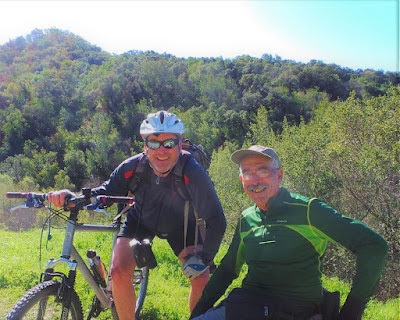
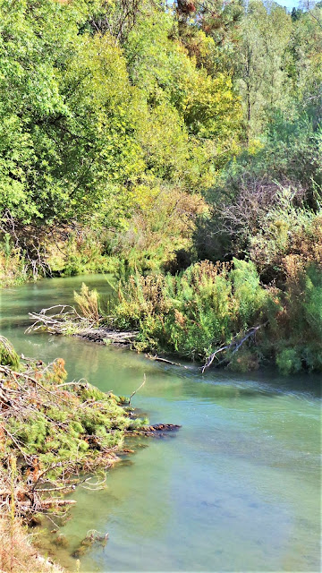
Enjoy more posts from Gambolin' Man about the geological, geographical, topographical, and biodiverse landscapes, open spaces and wild places found in the 9-county aggregate known as the BAY AREA:
Read more from Gambolin' Man about the simple wonders and charming splendors of Wildcat Creek (and watershed) in the Berkeley Hills:
Check out more Gambolin' Man posts on the magic, mystery and majesty of Mount Diablo & environs:
Read more from Gambolin' Man on the many-splendored wonders of BRIONESLAND:

Read more from Gambolin' Man on supernal, spectacular and sensational Sunol & Ohlone Regional Wildernesses:
Immerse yourself in Gambolin' Man's extensive write-up of four world-class parks in the Oakland and Berkeley Hills:

Check out more Gambolin' Man posts on the amazin' wonders of Las Trampas:
Check out more San Pablo Creek / Watershed related posts from Gambolin' Man:
Read Gambolin' Man's take on the "pedestrian" charms, magic and treasures of Pleasanton Ridge:
Join Gambolin' Man on a classic ramble up to the rarefied realm of oak groves and boulder gardens atop Brushy Peak:
Read more posts from Gambolin' Man on the incomparable and magnificent Point Reyes National Seashore:

Read more Gambolin' Man write-ups about incredible, fabulous, amazing Marin County:
Check out Gambolin' Man's more infrequent venturing to fabulous places farther afield in the North Bay counties of Napa, Sonoma and Yolo:

And, finally, Gambolin' Man's love letters to a couple of gems in the South Bay:

posted by Gambolin' Man at Monday, December 31, 2007
0 comments
![]()

